
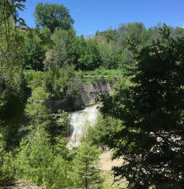
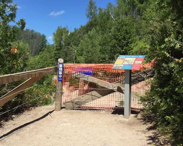
Forks of the Credit is an extremely popular spot for city day trippers, thanks to its relative proximity to Brampton and Mississauga. Located in the green rolling hills of Caledon, the park is well known for its rushing waterfall which – spoiler alert – you can’t get to unless you scramble down a very very steep cliff. In fact, after all that walking in the hot sun to get there it’s a bit of a disappointment, because you can barely even see it from the final lookout point. Perhaps because of covid, or because of safety problems, the lookout point is now boarded up with ugly chain link and orange barriers. Nonetheless, it is possible to snap a nice picture of the falls if you angle your camera carefully…
But, let me backtrack a bit and tell you more about how to get to the waterfall viewing area.
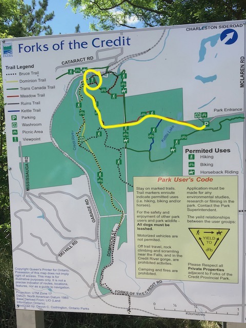
From the parking lot, there is of course the obligatory sign with maps of the different trails. A lot of trails run through the park including the Bruce Trail and the Trans Canada Trail.
What the map leaves out, of course, is the thing that everyone wants to know: where the actual waterfall is and how to get there.
The easiest way to get there is to follow the Meadow Trail, which goes straight for a long time until it hits up the bathrooms. Once you reach the bathrooms, you turn right and continue up to the lookout. On the PARK MAP (click here), the Meadow trail is marked in red. To help you see which one it is, I’ve marked it in yellow. The lookout point, which I’ve circled, is a dead end, so it’s an in-and-out walk.
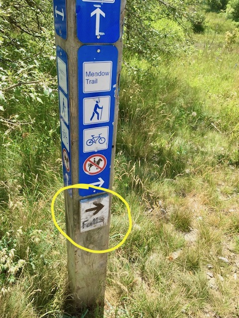
There are signs all along the way, so it’s easy enough to follow the Meadow Trail once you’re on it. But as an added bonus, someone who was equally disappointed in the signage had very helpfully added on the most important piece of info – “which way is the falls”. So on the trail marker signs, look out for the small white add-on which simply states FALLS with an arrow. Keep following that little sign and you’ll find it.
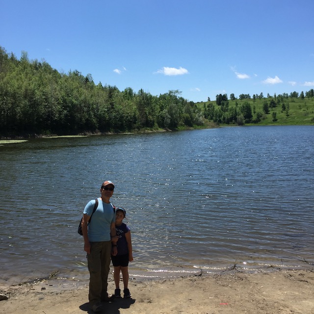
Along the way you pass Kettle Lake which is pretty enough but a bit buggy.
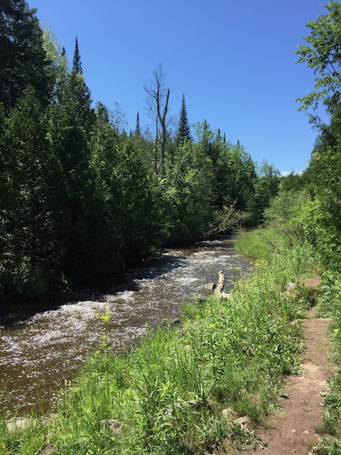
And when the trail reaches the bathroom at the fork, you can take the little footpath down to see the Credit River, which was very beautiful, and on a hot day probably a great place to cool down. From here you could walk along the Bruce Trail – the small footpath you see if the picture below. This also goes up to the falls.
All in all, it’s a nice enough hike. But the lack of access to a decent viewpoint spoiled the experience, and I imagine a lot of people are disappointed. A much prettier hike is right around the corner at Belfountain Conservation Area, which hopefully will open back up soon.
